
Wadi Rum and Aqaba are only an hour apart, yet they feel like two different worlds: red sand and tall sandstone mountains in the desert, warm water and coral reefs on the Red Sea. We, the locals, the Bedouin families of Rum and the people of Aqaba, have welcomed travellers here for generations, and these are the places we love to show them.
Tap a number on the map, or a card below, to read about each place as we would tell it to you on the way.
 Wadi Rum Visitor CentreLearn more
 Rum VillageLearn more
 The Nabataean TempleLearn more
 Lawrence’s SpringLearn more
 Khazali CanyonLearn more
 Um Fruth Rock BridgeLearn more
 Burdah Rock BridgeLearn more
 AylaLearn more
 Aqaba CastleLearn more
 Arab Revolt FlagpoleLearn more
 South Beach & Marine ParkLearn more

Point at a number to see the name; click it to jump to the story. On a phone, swipe the map sideways.
Wadi Rum Visitor Centre
Your desert day begins here, at the gate of the protected area. This is where you pay the entry fee (the Jordan Pass covers it), meet your jeep driver if you booked with us, and use the last proper facilities before the sand.
Step outside and look up at the mountain facing the centre. Its rock face is cut into tall columns that we call the Seven Pillars of Wisdom, after the book T. E. Lawrence wrote about the Arab Revolt.
Our advice: arrive in the morning or the late afternoon. At midday the light is flat and the sand is hot, but at the end of the day the whole valley turns red.
↑ Back to the mapRum Village
Rum is the only village inside the protected area, and it is home to the Bedouin families who have lived in this valley for generations. Many of the guides, drivers and camp hosts you will meet in Wadi Rum grew up in these streets.
Behind the village rises Jebel Rum, at 1,734 metres one of the highest mountains in Jordan. Climbers come from all over the world for its walls, and our local climbers know routes up it that were used long before ropes.
Here you can sit for sweet sage tea, buy a scarf or a bag of local coffee, and start your jeep or camel trip into the desert.
↑ Back to the mapThe Nabataean Temple
Just outside Rum village stand the low walls of a temple built by the Nabataeans, the same people who carved Petra. It dates from around the 1st century BC and was dedicated to the goddess Allat.
Wadi Rum lay on the caravan routes that carried incense and spices north, and travellers stopped here for water from the springs on Jebel Rum. The temple tells you how important this valley was long before the jeeps arrived.
It takes only a few minutes to walk around, and it is a good first stop to understand where you are.
↑ Back to the mapLawrence’s Spring
A short climb up the slope of Jebel Rum brings you to a spring that we call Lawrence’s Spring. Lawrence wrote about the springs of Rum in his book, and the name stayed.
There is not much water to see, but there is shade among the fig trees and rocks, and from up here you look out over the whole valley floor.
Wear proper shoes for the rocky path, and take your time on the way down.
↑ Back to the mapKhazali Canyon
Khazali is a narrow crack in the side of the mountain. You step in from the bright sand into cool shade, and the walls close in around you.
On the rock you will find carvings of people, camels and footprints, together with old Thamudic and Nabataean inscriptions left by people who sheltered here thousands of years ago. Look closely, because some are small.
You only walk a short way in before the canyon becomes a climb, so this is an easy stop for everyone.
↑ Back to the mapUm Fruth Rock Bridge
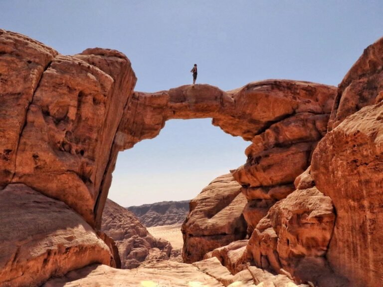
Um Fruth is a natural rock arch about 15 metres high, and it is one of the favourite stops on our jeep tours. The climb up the back of the arch is short and easy for most people.
From the top you can stand on the bridge itself and look across the open desert, and from below it makes one of the best photos in Wadi Rum.
Take it slowly on the way down: the sandstone is smooth and your guide will show you the easiest steps.
↑ Back to the mapBurdah Rock Bridge
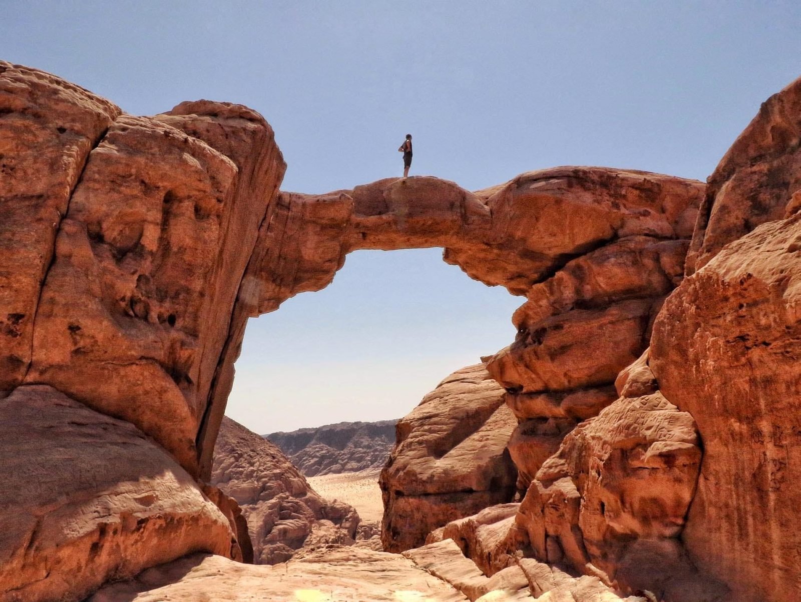
Burdah is a far bigger adventure. The arch sits high on the side of Jebel Burdah, and you can see it from the desert floor as a thin line of rock against the sky.
Reaching it is a real scramble of around an hour or more each way, with a few exposed steps. You should only go up with an experienced local guide, who knows the route and carries a rope.
For anyone with a head for heights, the view from the top is one of the finest in the whole of Jordan.
↑ Back to the mapAyla
In the middle of modern Aqaba, near the seafront, you can walk through the remains of Ayla, an early Islamic town founded in the 7th century.
You can still see the town wall, its gates and the street that crossed it. Ayla was a busy port where ships from the Red Sea met the caravans of the desert, which is the same reason Aqaba is important to us today.
It is free to walk around and takes about half an hour.
↑ Back to the mapAqaba Castle
Aqaba Castle is a fort built by the Mamluks in the early 16th century, near the old waterfront. For centuries it protected pilgrims on their way to Mecca.
In July 1917 the forces of the Great Arab Revolt took Aqaba, one of the most famous moments of the revolt. Above the gate you can still see the Hashemite coat of arms.
Combine it with Ayla and the flagpole for an easy walk through Aqaba’s history.
↑ Back to the mapArab Revolt Flagpole
Next to the castle stands a flagpole about 130 metres high, flying the flag of the Great Arab Revolt. When the wind blows from the sea, the huge flag can be seen from Israel and Egypt across the gulf.
For us it is a symbol of the revolt that began the story of modern Jordan, and families gather in the square below on warm evenings.
Come at sunset, when the light turns the mountains of Sinai pink across the water.
↑ Back to the mapSouth Beach & Marine Park
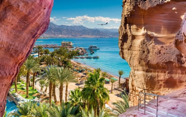
South of the city, the coral reefs begin only a few metres from the beach. This is the Aqaba Marine Park, protected so that the reefs stay healthy.
Bring a mask and snorkel and you will see colourful fish, corals and sometimes turtles. Divers come for reefs like the Japanese Garden and the Cedar Pride, a ship that was sunk on purpose in 1985 and is now covered in coral.
The water is warm almost all year round. Please do not touch or stand on the coral, and use reef-safe sun cream.
↑ Back to the mapSee Wadi Rum and Aqaba with locals
Our Bedouin partners in Rum and our drivers in Aqaba plan each day around you, from jeep tours and desert camps to a day on the reef.
Our toursWadi Rum guideAqaba guideMap of JordanMap and photo credits
- Map © Jordan by Locals; map data © OpenStreetMap contributors (ODbL).
- Wadi Rum Visitor Centre: Vyacheslav Argenberg, CC BY 4.0, via Wikimedia Commons
- Rum Village: FLASHPACKER TRAVELGUIDE, CC BY-SA 2.0, via Wikimedia Commons
- Nabataean Temple: Berthold Werner, CC BY-SA 3.0, via Wikimedia Commons
- Lawrence’s Spring: Berthold Werner, CC BY-SA 3.0, via Wikimedia Commons
- Khazali Canyon: Steffen 962, CC BY-SA 4.0, via Wikimedia Commons
- Ayla: عباد ديرانية, CC BY-SA 4.0, via Wikimedia Commons
- Aqaba Castle: watchsmart, CC BY 2.0, via Wikimedia Commons
- Arab Revolt Flagpole: David Stanley from Nanaimo, Canada, CC BY 2.0, via Wikimedia Commons
- Other photos © Jordan by Locals.